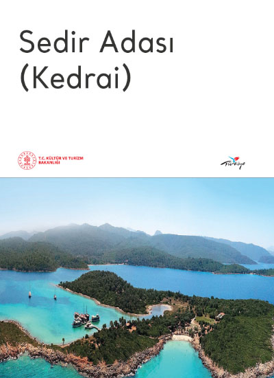
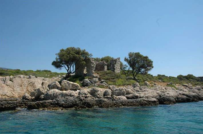
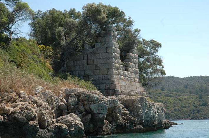
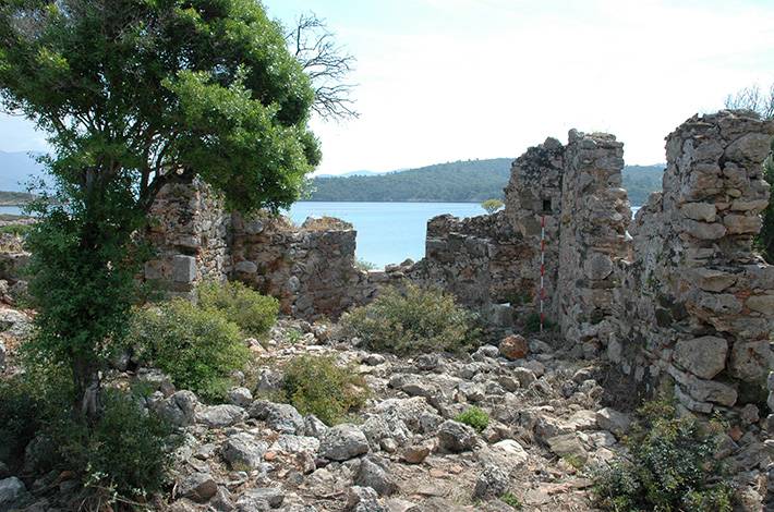
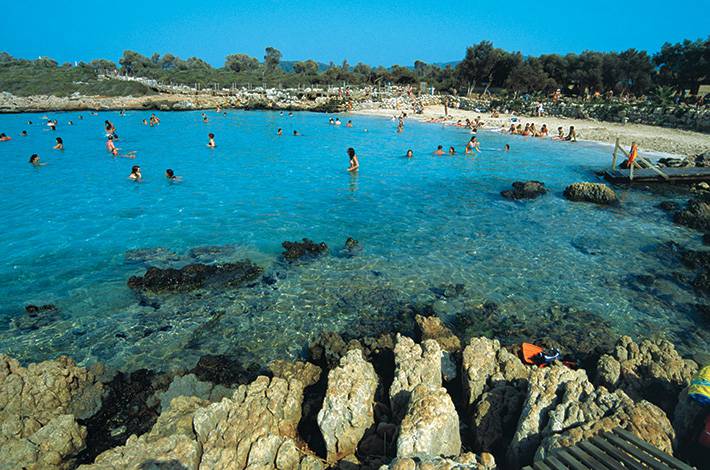
The Ancient City of Kedrai, or "Sedir Island" as it is commonly known, is situated in the eastern Gulf of Gökova (Keramos) within the Ula district. It is a Grade 1 Archaeological and Grade 1 Natural Protected Area with a coastal length of approximately 800 metres, a private beach, and a rich natural texture integrated with archaeological remains, the majority of which have survived. The island is the largest of a group of three islands. The cedar tree that gave its name to Sedir Island no longer exists on the island. It is forbidden to remove the sand, which consists of specially formed limestone droplets, from the sandy beach known as Cleopatra Beach. Sedir Island constitutes the main settlement of the city of Kedreai, which dominates the Gulf of Gökova. The island is situated in close proximity to the mainland, yet is surrounded by strong fortifications and accessible only by sea. It is evident that the island, with its sheltered harbours, was an important commercial base during the period of Rhodian rule. The nearby Orata Island and Small Island were also under the control of the city, with only a few remains visible. Kedrai, whose historical development can be traced back to the 6th century BC, was one of the most significant cities of Caria. According to some sources, Carian king families used to spend their summers on this island. In the following centuries, the island became one of the important towns of Rhodes Peria. In 454-428 BC, the city joined the Carian Union and then entered the Attica-Delos Maritime Union. The settlement on Sedir Island was formed on the eastern side of the isthmus that divides the island into two. The city's theatre, sanctuaries, residences, harbour and numerous other significant civil and religious edifices are situated in this area, which is encircled by walls. The necropolis, harbour and other civil buildings are located on the mainland on the east side of the island. The majority of the surviving ruins, both on the mainland and on the islands, date from the Eastern Roman Period. The Caria Region came under the control of Turkish tribes from the late 11th century onwards. In the first quarter of the 15th century AD, the city came under Ottoman rule. Among the ruins are numerous towers and fortification walls constructed from ashlar stonework, the Sanctuary of Apollo, the ruins of churches and chapels, the largest of which is the Great Basilica, built using ancient materials and dated to the 5th-6th centuries. The well-preserved 2500-seat theatre is still standing, as is the agora, which was the centre of commercial activities in the city. There are also numerous cisterns and ancient harbour ruins. Access to Sedir Island is available via day trip boats departing from the Akyaka neighbourhood of the Ula District, Muğla Province, or from the Çamlı Village of the Marmaris District.
SEDİR ISLAND ARCHAEOLOGICAL SITE
